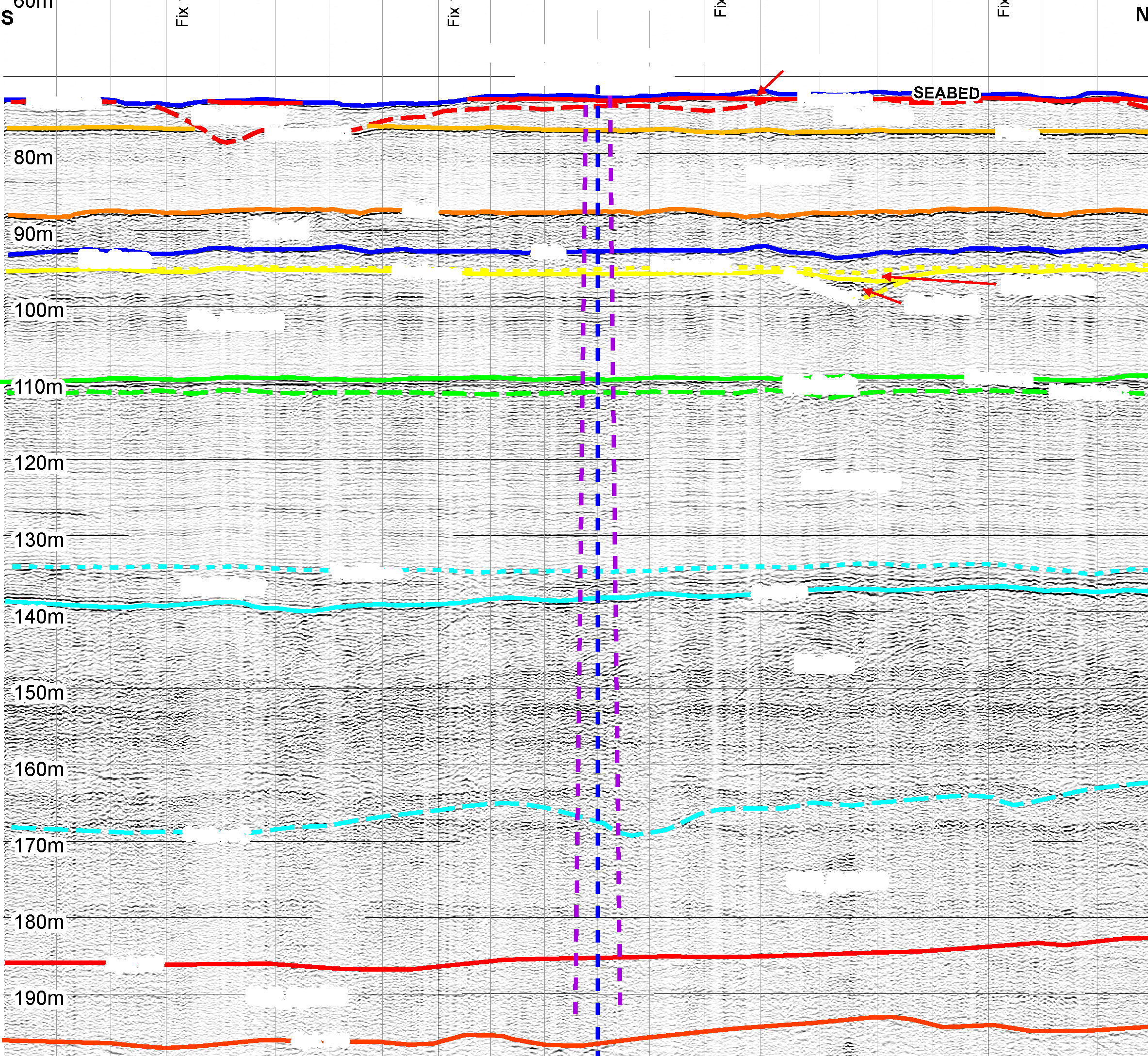
Seismic-GIS is a powerful Geo-Spacial Modeling tool to assist offshore industry. It enables seamless integration of diverse data sources including spatial geophysical data, geotechnical data, geohazard information and existing offshore structural information into a single data base for effective Project Management. Database capture of geohazards has delivered value to a number of clients where corporate memory has lost knowledge of these hazards.
SITE HAZARD REDUCTION THROUGH SEISMIC-GIS MAPPING